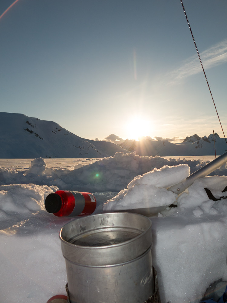
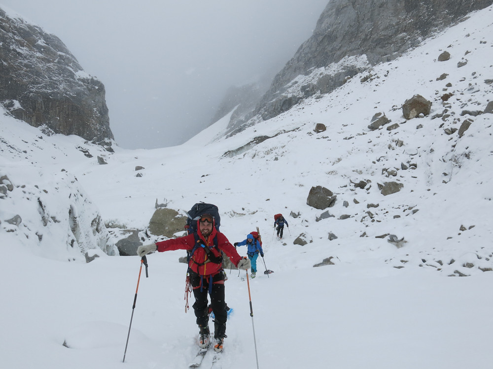
Homathko Part Five – Nine Mile Creek
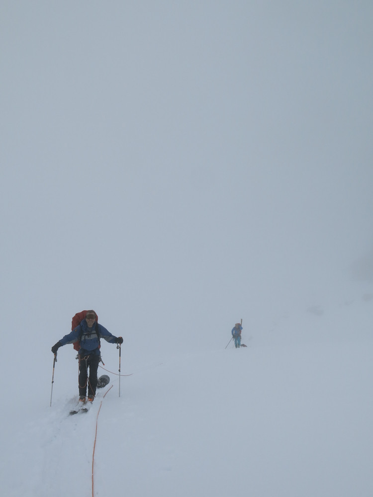
Being just nine miles long, we felt that however bad the vegetation was in Nine Mile Creek, a day would be enough time. We were in no way prepared for it taking two entire days.
The first day and a half we had to keep skis on the majority of the time, making the steep and convoluted ground between the trees extremely difficult and very slow. At one point the ground suddenly opened up and the snow disappeared, allowing us to make very rapid progress on foot but within a few hours we were bogged down in incredibly heavy deadfall and Alder from hell.
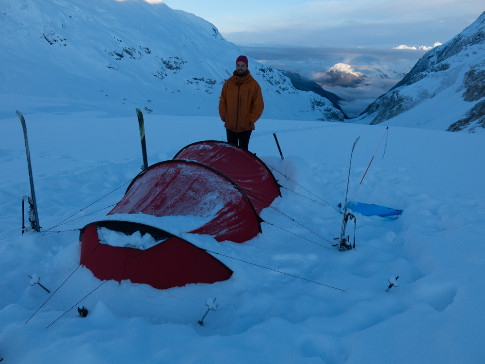
We made an unplanned open bivouac in the woods, unable to get the tents up, but a fire allowed us to dry out from the rain and wet snow that had soaked us during the afternoon. At this point we were just 2-3 km from the beach and so we rang Roland Class, telling him we would be at the beach at 15:00 the next day (we thought we should add plenty of hours to allow for complications). In the morning the vegetation, amazingly, got significantly worse. We were climbing deadfall six feet high and dragging our packs through Alder so thick that during the first two hours we gained only 300m of distance towards the beach. We wove back and forth across the ridge with increasing desperation and under the strain our gear finally began to break up; ski boots were disintegrating and my pack began to shed one of its shoulder straps.
Finally, at long last we began to make progress. Game trails allowed to to move steadily and we navigated towards an area of braided river where we hoped we would really make progress; this worked out at first, but soon we were backtracking and struggling to cross the many streams. In the end, with time pressing, we started to just walk across and down the streams, struggling to stay upright in the knee deep glacial meltwater.
We emerged onto the beach at 15:40 and to our relief there was Roland with his boat. We were exhausted and collapsing under the weight of our packs, but it had been an incredible trip. Ironically, the best adventure was had in the final nine miles, with no skis on our feet, but that’s exactly why we came to Canada. It provided almost everything we came for and I will be back for sure.